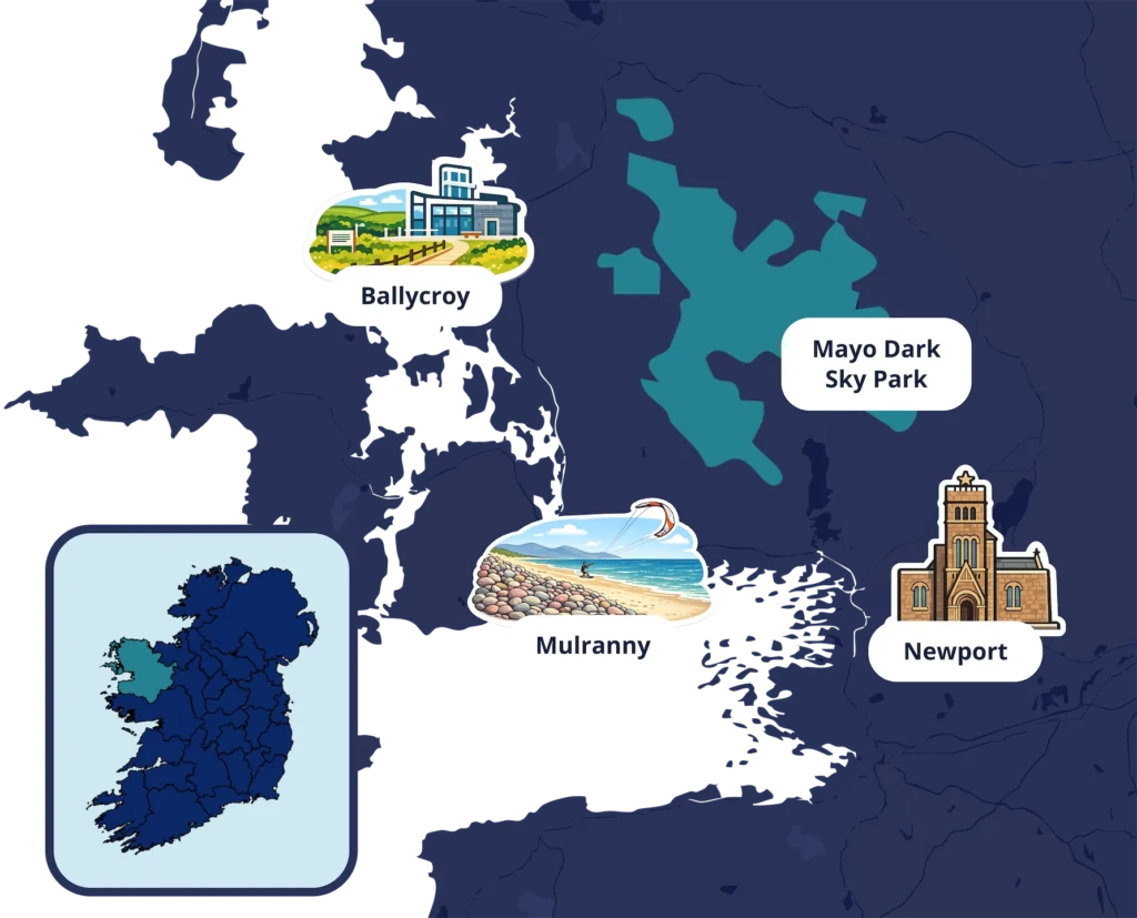
Maps & Links

We are continually updating this page to give you links to websites that will help enhance your visit to Mayo International Dark Sky Park and the Dark Sky Festival

Winding wooden pathway through grassy field towards cloudy horizon, surrounded by autumn colours. Ideal for countryside walks.

Maps

Google Maps Directions, parking & nearby stargazing spots.

Wild Nephin Map of the Dark Sky Park and surroundings

Route Planner Plan journeys between festival locations.

OSI Maps Detailed walking trails and rural navigation maps.

Links

Mayo Dark Sky Park Discover official stargazing sites & tips.

Wild Nephin Nat Park Park, access and facilities info.

Stellarium Check which stars and planets are visible tonight.

Wild Atlantic Way Explore scenic routes and attractions.

Great Western Greenway Iconic Mayo route.

Newport Astronomy Club Connect with locals and events.

AccuWeather Check conditions for clear night skies.

Group on guided nature walk in countryside, learning about local plants, with hills in the background.

Explore the Area

Map of County Mayo, Ireland featuring locations: Ballycroy, Mulranny, Newport, and Mayo Dark Sky Park.
1

Hotel Newport
F28 YX89

Open Maps

2

Newport National School
F28 ED89

Open Maps

3

St. Patricks Church Newport
F28 HF96

Open Maps

4

Burrishoole Abbey
Aghadooey Glebe, off the N59

Open Maps

5

Mulranny Arts Centre
F28 F8N8

Open Maps

6

Mulranny Park Hotel
F28 N2H9

Open Maps

7

Mulranny Beach
Opposite Mulranny Park Hotel

Open Maps

8

Ballycroy Visitor Centre
F28 RX77

Open Maps

9

Ballycroy Community Centre
F28 H6C9

Open Maps

Plan Your Visit